Farmland on the Outskirts of Conisbrough
Introduction
The photograph on this page of Farmland on the Outskirts of Conisbrough by Jonathan Clitheroe as part of the Geograph project.
The Geograph project started in 2005 with the aim of publishing, organising and preserving representative images for every square kilometre of Great Britain, Ireland and the Isle of Man.

There are currently over 7.5m images from over 14,400 individuals and you can help contribute to the project by visiting https://www.geograph.org.uk
Farmland on the Outskirts of Conisbrough
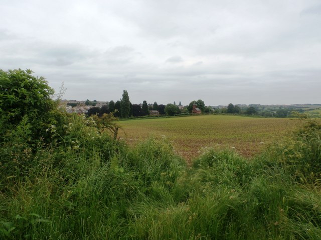
Image: © Jonathan Clitheroe Taken: 19 Jun 2016
Looking towards Lodge Cemetery from the Park Lane bridleway.
Images are licensed for reuse under creativecommons.org/licenses/by-sa/2.0
Image Location
Latitude
53.474157
Longitude
-1.240631