Bridleway near Aunsby
Introduction
The photograph on this page of Bridleway near Aunsby by Marathon as part of the Geograph project.
The Geograph project started in 2005 with the aim of publishing, organising and preserving representative images for every square kilometre of Great Britain, Ireland and the Isle of Man.

There are currently over 7.5m images from over 14,400 individuals and you can help contribute to the project by visiting https://www.geograph.org.uk
Bridleway near Aunsby
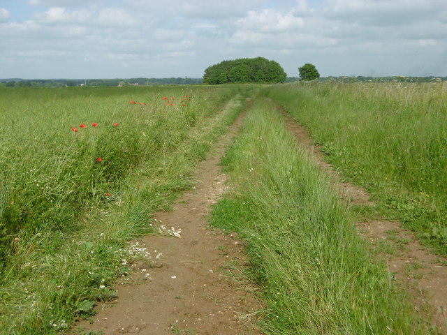
Image: © Marathon Taken: 18 Jun 2016
The bridleway continues to meet Aunsby Road. A footpath leads away at the copse ahead to reach Swarby.
Images are licensed for reuse under creativecommons.org/licenses/by-sa/2.0
Image Location
Latitude
52.941251
Longitude
-0.450432