Bungalows and church, Gorseinon
Introduction
The photograph on this page of Bungalows and church, Gorseinon by Jaggery as part of the Geograph project.
The Geograph project started in 2005 with the aim of publishing, organising and preserving representative images for every square kilometre of Great Britain, Ireland and the Isle of Man.

There are currently over 7.5m images from over 14,400 individuals and you can help contribute to the project by visiting https://www.geograph.org.uk
Bungalows and church, Gorseinon
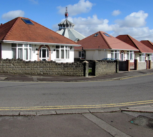
Image: © Jaggery Taken: 25 Mar 2016
Viewed across Park Road looking towards the Church of the Blessed Sacrament. http://www.geograph.org.uk/photo/5000943
Images are licensed for reuse under creativecommons.org/licenses/by-sa/2.0
Image Location
Latitude
51.668578
Longitude
-4.047382