Inverness : Tomnahurich Cemetery
Introduction
The photograph on this page of Inverness : Tomnahurich Cemetery by Lewis Clarke as part of the Geograph project.
The Geograph project started in 2005 with the aim of publishing, organising and preserving representative images for every square kilometre of Great Britain, Ireland and the Isle of Man.

There are currently over 7.5m images from over 14,400 individuals and you can help contribute to the project by visiting https://www.geograph.org.uk
Inverness : Tomnahurich Cemetery
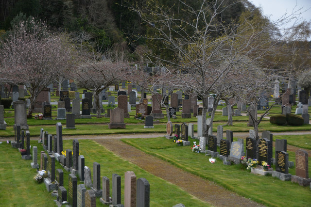
Image: © Lewis Clarke Taken: 24 Apr 2016
Tomnahurich Cemetery is laid out along the summit and slopes of Tomnahurich Hill, 1.5km south-east of Inverness city centre. Its western boundary is formed by the Caledonian Canal and its eastern and southern boundaries by Glenurquhart Road (A82).
Images are licensed for reuse under creativecommons.org/licenses/by-sa/2.0
Image Location
Latitude
57.467607
Longitude
-4.239425