Harthope farm
Introduction
The photograph on this page of Harthope farm by Robert Graham as part of the Geograph project.
The Geograph project started in 2005 with the aim of publishing, organising and preserving representative images for every square kilometre of Great Britain, Ireland and the Isle of Man.

There are currently over 7.5m images from over 14,400 individuals and you can help contribute to the project by visiting https://www.geograph.org.uk
Harthope farm
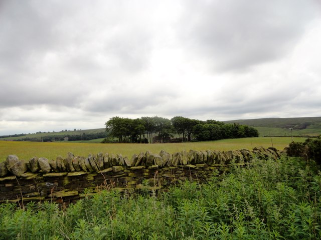
Image: © Robert Graham Taken: 15 Jun 2016
This farm stands on the top of the valley slope a couple of kilometres south of Wolsingham. It is located on the edge of the extensive moorlands of Pikestone Fell, which can be seen behind to the right. Nice example of a shelter belt around the farm buildings.
Images are licensed for reuse under creativecommons.org/licenses/by-sa/2.0
Image Location


Leaflet Map data © OpenStreetMap
Latitude
54.707728
Longitude
-1.90235