St Lawrence Hill
Introduction
The photograph on this page of St Lawrence Hill by Stefan Czapski as part of the Geograph project.
The Geograph project started in 2005 with the aim of publishing, organising and preserving representative images for every square kilometre of Great Britain, Ireland and the Isle of Man.

There are currently over 7.5m images from over 14,400 individuals and you can help contribute to the project by visiting https://www.geograph.org.uk
St Lawrence Hill
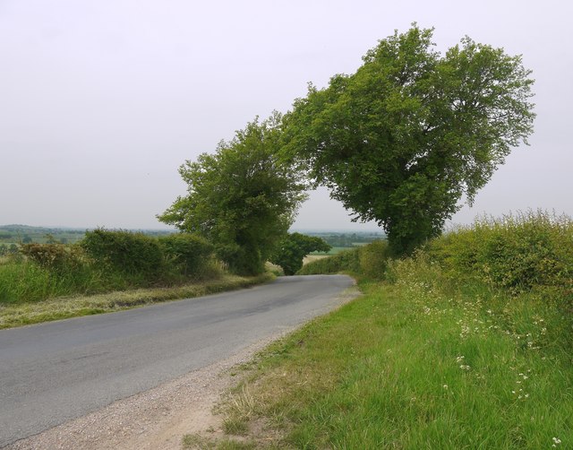
Image: © Stefan Czapski Taken: 11 Jun 2016
A shot to make the point that the Dengie peninsula isn't altogether flat. The view is roughly west (towards Steeple and Latchingdon) from the road junction by the beacon: http://www.geograph.org.uk/photo/1408376 The OS shows a spot height of 34m nearby - a good hundred feet in old money.
Images are licensed for reuse under creativecommons.org/licenses/by-sa/2.0
Image Location
Latitude
51.70301
Longitude
0.83929