Field pond alongside River Aire flood bank
Introduction
The photograph on this page of Field pond alongside River Aire flood bank by Martin Dawes as part of the Geograph project.
The Geograph project started in 2005 with the aim of publishing, organising and preserving representative images for every square kilometre of Great Britain, Ireland and the Isle of Man.

There are currently over 7.5m images from over 14,400 individuals and you can help contribute to the project by visiting https://www.geograph.org.uk
Field pond alongside River Aire flood bank
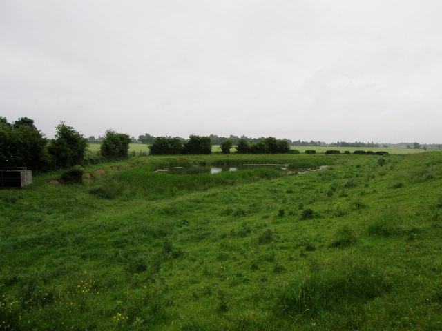
Image: © Martin Dawes Taken: 15 Jun 2016
The flood bank is to the right I am on it, It shows how low the surrounding land is, the footpath to Field Lane and Rawcliffe goes left from the pond
Images are licensed for reuse under creativecommons.org/licenses/by-sa/2.0
Image Location
Latitude
53.698465
Longitude
-0.980322