Footpath to Ridding Lane
Introduction
The photograph on this page of Footpath to Ridding Lane by Martin Dawes as part of the Geograph project.
The Geograph project started in 2005 with the aim of publishing, organising and preserving representative images for every square kilometre of Great Britain, Ireland and the Isle of Man.

There are currently over 7.5m images from over 14,400 individuals and you can help contribute to the project by visiting https://www.geograph.org.uk
Footpath to Ridding Lane
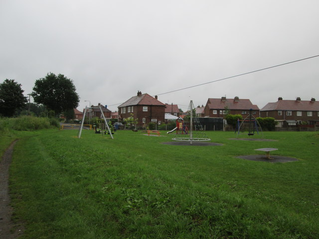
Image: © Martin Dawes Taken: 15 Jun 2016
On the footpath from Snaith Road A1041 to Station Road, the children's play area is this end of Riddings Lane.
Images are licensed for reuse under creativecommons.org/licenses/by-sa/2.0
Image Location
Latitude
53.695263
Longitude
-0.963285