Pivot bench mark on the Town Hall garden wall
Introduction
The photograph on this page of Pivot bench mark on the Town Hall garden wall by John S Turner as part of the Geograph project.
The Geograph project started in 2005 with the aim of publishing, organising and preserving representative images for every square kilometre of Great Britain, Ireland and the Isle of Man.

There are currently over 7.5m images from over 14,400 individuals and you can help contribute to the project by visiting https://www.geograph.org.uk
Pivot bench mark on the Town Hall garden wall
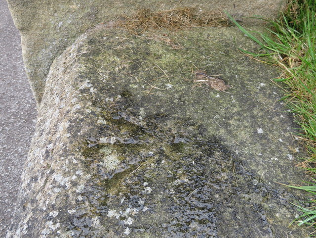
Image: © John S Turner Taken: 15 Jun 2016
This Ordnance Survey pivot bench mark is on the Town Hall garden wall close to a former bench inset in the wall. The official O.S. database records that it is a rivet bench mark, but there is no sign of a rivet, just a hollow/pivot. See also Image
Images are licensed for reuse under creativecommons.org/licenses/by-sa/2.0
Image Location
Latitude
54.281663
Longitude
-0.397797