Approaching the crossroads, Bickerton church
Introduction
The photograph on this page of Approaching the crossroads, Bickerton church by Christopher Hilton as part of the Geograph project.
The Geograph project started in 2005 with the aim of publishing, organising and preserving representative images for every square kilometre of Great Britain, Ireland and the Isle of Man.

There are currently over 7.5m images from over 14,400 individuals and you can help contribute to the project by visiting https://www.geograph.org.uk
Approaching the crossroads, Bickerton church
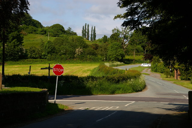
Image: © Christopher Hilton Taken: 1 Jun 2016
The Sandstone Trail runs across this crossroads and up the lane opposite.
Images are licensed for reuse under creativecommons.org/licenses/by-sa/2.0
Image Location


Leaflet Map data © OpenStreetMap
Latitude
53.077188
Longitude
-2.732732