Evolving Manchester
Introduction
The photograph on this page of Evolving Manchester by Gerald England as part of the Geograph project.
The Geograph project started in 2005 with the aim of publishing, organising and preserving representative images for every square kilometre of Great Britain, Ireland and the Isle of Man.

There are currently over 7.5m images from over 14,400 individuals and you can help contribute to the project by visiting https://www.geograph.org.uk
Evolving Manchester
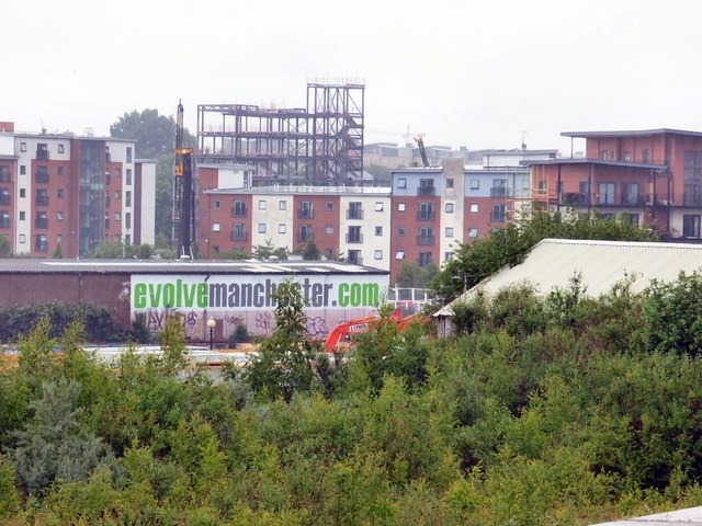
Image: © Gerald England Taken: 11 Jun 2016
New housing developments on Worral Street, Ordsall viewed from Cornbrook tram station.
Images are licensed for reuse under creativecommons.org/licenses/by-sa/2.0
Image Location
Latitude
53.472404
Longitude
-2.266919