Fields and Railway at Circourt Bridge
Introduction
The photograph on this page of Fields and Railway at Circourt Bridge by Des Blenkinsopp as part of the Geograph project.
The Geograph project started in 2005 with the aim of publishing, organising and preserving representative images for every square kilometre of Great Britain, Ireland and the Isle of Man.

There are currently over 7.5m images from over 14,400 individuals and you can help contribute to the project by visiting https://www.geograph.org.uk
Fields and Railway at Circourt Bridge
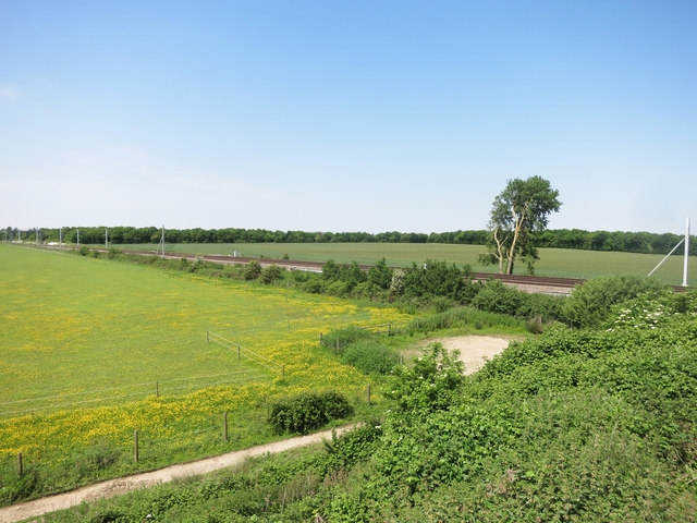
Image: © Des Blenkinsopp Taken: 6 Jun 2016
In this flat landscape Circourt Bridge is pretty much the only viewpoint.
Images are licensed for reuse under creativecommons.org/licenses/by-sa/2.0
Image Location


Leaflet Map data © OpenStreetMap
Latitude
51.614343
Longitude
-1.461396