The road to East Ware Farm
Introduction
The photograph on this page of The road to East Ware Farm by Stefan Czapski as part of the Geograph project.
The Geograph project started in 2005 with the aim of publishing, organising and preserving representative images for every square kilometre of Great Britain, Ireland and the Isle of Man.

There are currently over 7.5m images from over 14,400 individuals and you can help contribute to the project by visiting https://www.geograph.org.uk
The road to East Ware Farm
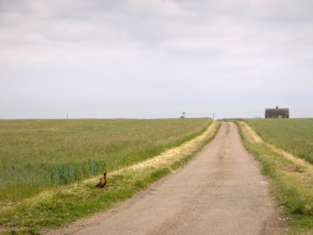
Image: © Stefan Czapski Taken: 11 Jun 2016
Go any further east and you're in the North Sea. I think the picture makes the useful point that though the Dengie peninsula is low-lying, it isn't flat - unlike the North Kent marshes on the other side of the Thames estuary (or for that matter, the marshes around the Wash). East Ware Farm itself stands on a low ridge, at a height of 10m. Notice the inquisitive cock pheasant. I don't think he'd seen a human-being before . . .
Images are licensed for reuse under creativecommons.org/licenses/by-sa/2.0
Image Location
Latitude
51.679936
Longitude
0.903817