Field at Edington
Introduction
The photograph on this page of Field at Edington by Oliver Dixon as part of the Geograph project.
The Geograph project started in 2005 with the aim of publishing, organising and preserving representative images for every square kilometre of Great Britain, Ireland and the Isle of Man.

There are currently over 7.5m images from over 14,400 individuals and you can help contribute to the project by visiting https://www.geograph.org.uk
Field at Edington
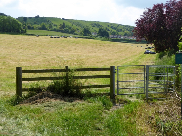
Image: © Oliver Dixon Taken: 8 Jun 2016
A kissing gate leas to a public footpath across the field. The slopes of Edington Hill beyond.
Images are licensed for reuse under creativecommons.org/licenses/by-sa/2.0
Image Location
Latitude
51.279249
Longitude
-2.101743