Cumberland Street, Bristol
Introduction
The photograph on this page of Cumberland Street, Bristol by Derek Harper as part of the Geograph project.
The Geograph project started in 2005 with the aim of publishing, organising and preserving representative images for every square kilometre of Great Britain, Ireland and the Isle of Man.

There are currently over 7.5m images from over 14,400 individuals and you can help contribute to the project by visiting https://www.geograph.org.uk
Cumberland Street, Bristol
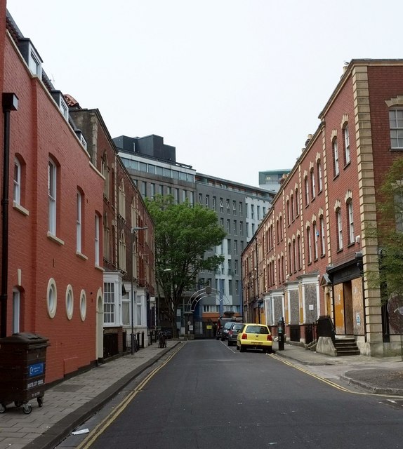
Image: © Derek Harper Taken: 10 Jun 2016
With the exception of the new brick building on the left, every house in this cul-de-sac is listed, although many were heavily restored in about 1980. Number 29, the end terrace on the right, is described at https://www.historicengland.org.uk/listing/the-list/list-entry/1207920
Images are licensed for reuse under creativecommons.org/licenses/by-sa/2.0
Image Location
Latitude
51.460162
Longitude
-2.589228