St. Georges Island
Introduction
The photograph on this page of St. Georges Island by Keith Burroughs as part of the Geograph project.
The Geograph project started in 2005 with the aim of publishing, organising and preserving representative images for every square kilometre of Great Britain, Ireland and the Isle of Man.

There are currently over 7.5m images from over 14,400 individuals and you can help contribute to the project by visiting https://www.geograph.org.uk
St. Georges Island
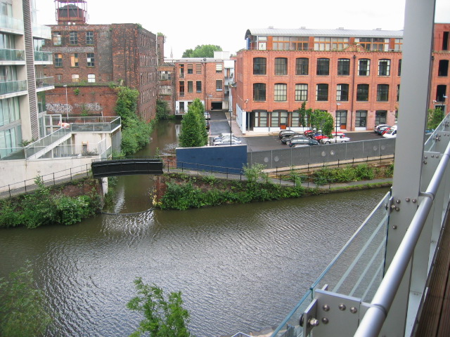
Image: © Keith Burroughs Taken: 1 Jul 2007
New flats on the canal bank still being built July 2007
Images are licensed for reuse under creativecommons.org/licenses/by-sa/2.0
Image Location
Latitude
53.472144
Longitude
-2.262699