Wales & West Utilities gas installation, School Lane, Penperlleni
Introduction
The photograph on this page of Wales & West Utilities gas installation, School Lane, Penperlleni by Jaggery as part of the Geograph project.
The Geograph project started in 2005 with the aim of publishing, organising and preserving representative images for every square kilometre of Great Britain, Ireland and the Isle of Man.

There are currently over 7.5m images from over 14,400 individuals and you can help contribute to the project by visiting https://www.geograph.org.uk
Wales & West Utilities gas installation, School Lane, Penperlleni
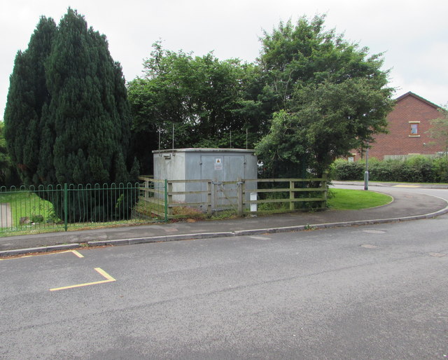
Image: © Jaggery Taken: 12 Jun 2016
Located near the corner of Folly View Close on the right. An EX in a black-lined yellow triangle indicates a potentially explosive atmosphere - smoking prohibited. A notice shows a Wales & West Utilities Plant Protection phone number to ring before beginning any works on, or within 10 metres of, this site.
Images are licensed for reuse under creativecommons.org/licenses/by-sa/2.0
Image Location
Latitude
51.735
Longitude
-2.983351