Crops in a very large field at Cold Hatton
Introduction
The photograph on this page of Crops in a very large field at Cold Hatton by Richard Law as part of the Geograph project.
The Geograph project started in 2005 with the aim of publishing, organising and preserving representative images for every square kilometre of Great Britain, Ireland and the Isle of Man.

There are currently over 7.5m images from over 14,400 individuals and you can help contribute to the project by visiting https://www.geograph.org.uk
Crops in a very large field at Cold Hatton
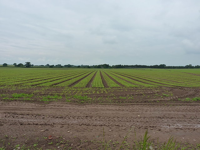
Image: © Richard Law Taken: 11 Jun 2016
Nary a hedge nor fence for nearly a kilometre north of here, and roughly 500m to the west to boot. The 1902 map shows this field formerly consisted of 7 smaller ones, which had reduced to 6 by the early 1970s. All those boundaries have now been grubbed out.
Images are licensed for reuse under creativecommons.org/licenses/by-sa/2.0
Image Location


Leaflet Map data © OpenStreetMap
Latitude
52.78831
Longitude
-2.559716