The Tropical Butterfly House Wildlife & Falconry Centre
Introduction
The photograph on this page of The Tropical Butterfly House Wildlife & Falconry Centre by Mat Fascione as part of the Geograph project.
The Geograph project started in 2005 with the aim of publishing, organising and preserving representative images for every square kilometre of Great Britain, Ireland and the Isle of Man.

There are currently over 7.5m images from over 14,400 individuals and you can help contribute to the project by visiting https://www.geograph.org.uk
The Tropical Butterfly House Wildlife & Falconry Centre
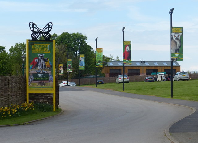
Image: © Mat Fascione Taken: 22 May 2016
Along Woodsetts Road in North Anston.
Images are licensed for reuse under creativecommons.org/licenses/by-sa/2.0
Image Location
Latitude
53.353826
Longitude
-1.203708