Coastline below Castlegreen, Carness
Introduction
The photograph on this page of Coastline below Castlegreen, Carness by Mike Pennington as part of the Geograph project.
The Geograph project started in 2005 with the aim of publishing, organising and preserving representative images for every square kilometre of Great Britain, Ireland and the Isle of Man.

There are currently over 7.5m images from over 14,400 individuals and you can help contribute to the project by visiting https://www.geograph.org.uk
Coastline below Castlegreen, Carness
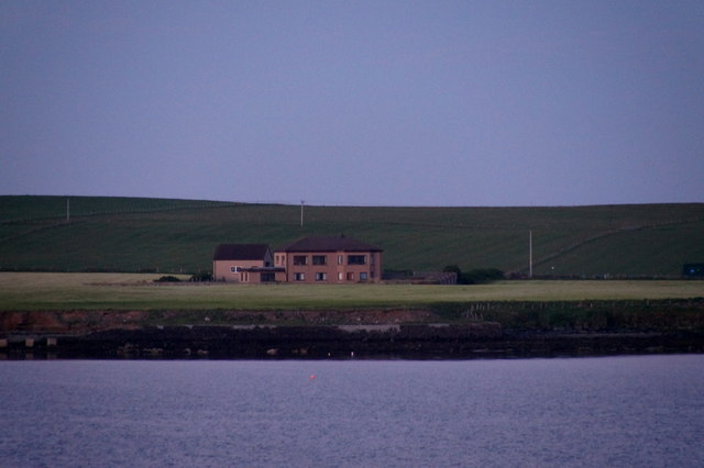
Image: © Mike Pennington Taken: 9 Jun 2016
Castlegreen is the large house. Taken from the Aberdeen-Orkney-Shetland ferry coming into Hatston and position confirmed by GPS.
Images are licensed for reuse under creativecommons.org/licenses/by-sa/2.0
Image Location
Latitude
59.002724
Longitude
-2.94415