East Howe: footpath E39 to Puck?s Dell
Introduction
The photograph on this page of East Howe: footpath E39 to Puck?s Dell by Chris Downer as part of the Geograph project.
The Geograph project started in 2005 with the aim of publishing, organising and preserving representative images for every square kilometre of Great Britain, Ireland and the Isle of Man.

There are currently over 7.5m images from over 14,400 individuals and you can help contribute to the project by visiting https://www.geograph.org.uk
East Howe: footpath E39 to Puck?s Dell
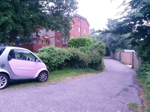
Image: © Chris Downer Taken: 10 Jun 2016
This is a driveway access to the garages at the backs of gardens in East Howe Lane, but it is also a public footpath leading to Image See Image] for the next view along the path and Image for the far end of the drive, with the entrance to the Dell.
Images are licensed for reuse under creativecommons.org/licenses/by-sa/2.0
Image Location
Latitude
50.763543
Longitude
-1.894174