Bournemouth: a double-bend in footpath C08
Introduction
The photograph on this page of Bournemouth: a double-bend in footpath C08 by Chris Downer as part of the Geograph project.
The Geograph project started in 2005 with the aim of publishing, organising and preserving representative images for every square kilometre of Great Britain, Ireland and the Isle of Man.

There are currently over 7.5m images from over 14,400 individuals and you can help contribute to the project by visiting https://www.geograph.org.uk
Bournemouth: a double-bend in footpath C08
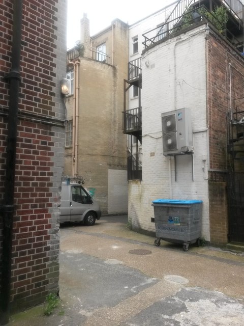
Image: © Chris Downer Taken: 10 Jun 2016
A view midway along this public footpath from Hinton Road (see Image]) - the path does a quick left-right here before going through an arch onto Westover Road: see Image
Images are licensed for reuse under creativecommons.org/licenses/by-sa/2.0
Image Location
Latitude
50.719191
Longitude
-1.875717