Bradstone Dub bridge on the Nidderdale Way
Introduction
The photograph on this page of Bradstone Dub bridge on the Nidderdale Way by Martin Dawes as part of the Geograph project.
The Geograph project started in 2005 with the aim of publishing, organising and preserving representative images for every square kilometre of Great Britain, Ireland and the Isle of Man.

There are currently over 7.5m images from over 14,400 individuals and you can help contribute to the project by visiting https://www.geograph.org.uk
Bradstone Dub bridge on the Nidderdale Way
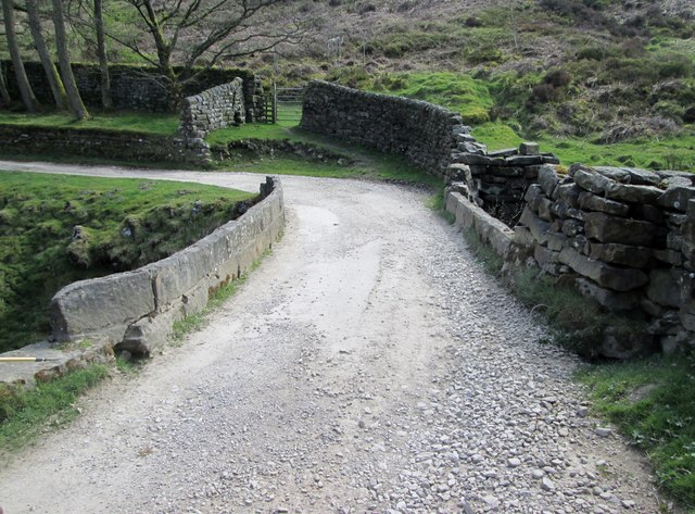
Image: © Martin Dawes Taken: 7 May 2016
This track gets better as it passes isolated farms and houses on its way to the B6265.
Images are licensed for reuse under creativecommons.org/licenses/by-sa/2.0
Image Location
Latitude
54.085086
Longitude
-1.811331