Warren Golf Club, St Andrew?s Road
Introduction
The photograph on this page of Warren Golf Club, St Andrew?s Road by John Baker as part of the Geograph project.
The Geograph project started in 2005 with the aim of publishing, organising and preserving representative images for every square kilometre of Great Britain, Ireland and the Isle of Man.

There are currently over 7.5m images from over 14,400 individuals and you can help contribute to the project by visiting https://www.geograph.org.uk
Warren Golf Club, St Andrew?s Road
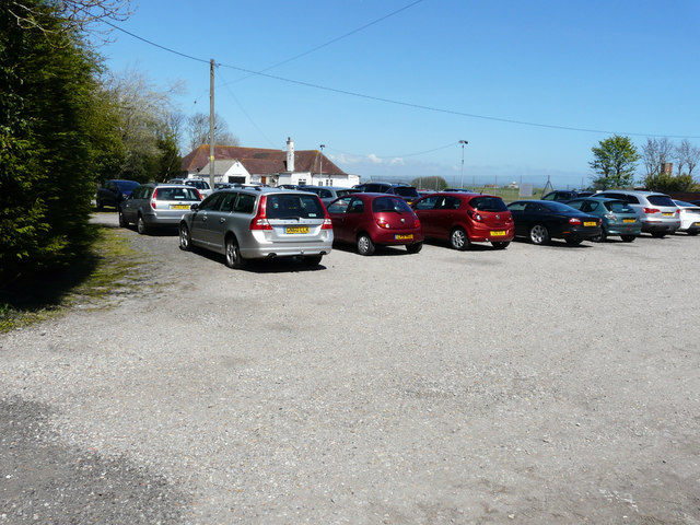
Image: © John Baker Taken: 4 May 2016
My father’s view of Image shows how the building originally looked. The present-day carpark was once grass tennis courts.
Images are licensed for reuse under creativecommons.org/licenses/by-sa/2.0
Image Location
Latitude
50.985931
Longitude
0.965013