Tuckton: reconfigured road junction at Saxonbury Road
Introduction
The photograph on this page of Tuckton: reconfigured road junction at Saxonbury Road by Chris Downer as part of the Geograph project.
The Geograph project started in 2005 with the aim of publishing, organising and preserving representative images for every square kilometre of Great Britain, Ireland and the Isle of Man.

There are currently over 7.5m images from over 14,400 individuals and you can help contribute to the project by visiting https://www.geograph.org.uk
Tuckton: reconfigured road junction at Saxonbury Road
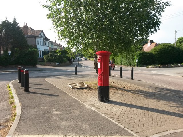
Image: © Chris Downer Taken: 8 Jun 2016
Looking across the junction of Saxonbury Road (behind left), Seafield Road (left) and Iford Lane (behind right and ahead). The footway part directly in front of us has been put in recently, making the junction two distinct turnings rather than two roads awkwardly coming out onto another at the same place. At the same time, the postbox has been moved from a few doors up (Image).
Images are licensed for reuse under creativecommons.org/licenses/by-sa/2.0
Image Location
Latitude
50.733379
Longitude
-1.797321