Footpath through belt of trees to Manmoel Road
Introduction
The photograph on this page of Footpath through belt of trees to Manmoel Road by M J Roscoe as part of the Geograph project.
The Geograph project started in 2005 with the aim of publishing, organising and preserving representative images for every square kilometre of Great Britain, Ireland and the Isle of Man.

There are currently over 7.5m images from over 14,400 individuals and you can help contribute to the project by visiting https://www.geograph.org.uk
Footpath through belt of trees to Manmoel Road
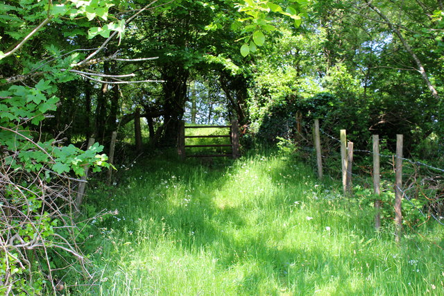
Image: © M J Roscoe Taken: 5 Jun 2016
This public footpath passes through a belt of trees planted originally to hide a colliery waste tip sited behind the camera. The path leads to another Image on the other side of the road heading to Pen-y-fan Pond.
Images are licensed for reuse under creativecommons.org/licenses/by-sa/2.0
Image Location
Latitude
51.695464
Longitude
-3.167115