Modern Housing in Ivybridge
Introduction
The photograph on this page of Modern Housing in Ivybridge by Tony Atkin as part of the Geograph project.
The Geograph project started in 2005 with the aim of publishing, organising and preserving representative images for every square kilometre of Great Britain, Ireland and the Isle of Man.

There are currently over 7.5m images from over 14,400 individuals and you can help contribute to the project by visiting https://www.geograph.org.uk
Modern Housing in Ivybridge
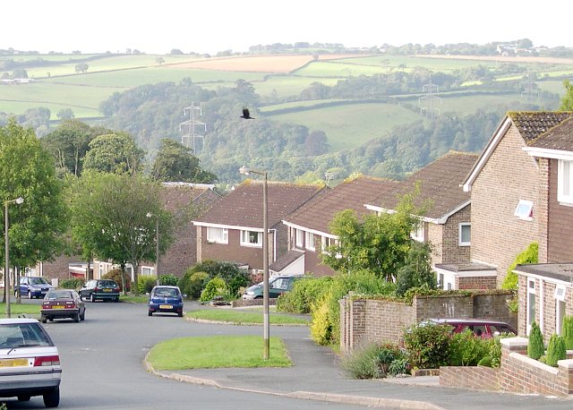
Image: © Tony Atkin Taken: 6 Sep 2005
Once a village, Ivybridge is now a town and dormitory suburb of Plymouth. This photograph shows typical modern housing on the eastern side of Ivybridge.
Images are licensed for reuse under creativecommons.org/licenses/by-sa/2.0
Image Location


Leaflet Map data © OpenStreetMap
Latitude
50.392656
Longitude
-3.911842