Footpath to Staple Road
Introduction
The photograph on this page of Footpath to Staple Road by Peter Holmes as part of the Geograph project.
The Geograph project started in 2005 with the aim of publishing, organising and preserving representative images for every square kilometre of Great Britain, Ireland and the Isle of Man.

There are currently over 7.5m images from over 14,400 individuals and you can help contribute to the project by visiting https://www.geograph.org.uk
Footpath to Staple Road
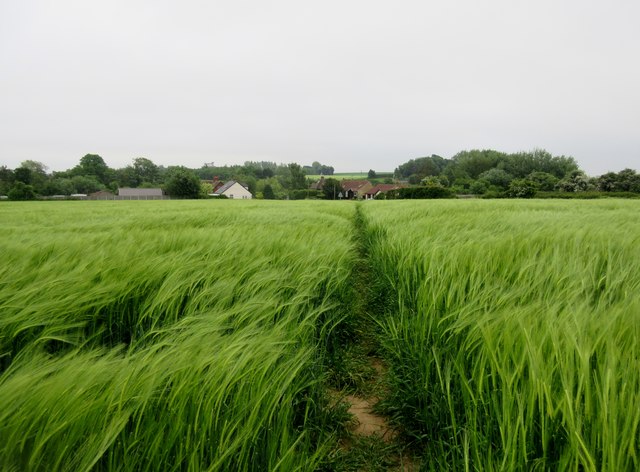
Image: © Peter Holmes Taken: 30 May 2016
Public footpath EE174 through barley field.
Images are licensed for reuse under creativecommons.org/licenses/by-sa/2.0
Image Location
Latitude
51.269376
Longitude
1.219243