Cottages and driveways on Stock Lane, Wybunbury
Introduction
The photograph on this page of Cottages and driveways on Stock Lane, Wybunbury by Christopher Hilton as part of the Geograph project.
The Geograph project started in 2005 with the aim of publishing, organising and preserving representative images for every square kilometre of Great Britain, Ireland and the Isle of Man.

There are currently over 7.5m images from over 14,400 individuals and you can help contribute to the project by visiting https://www.geograph.org.uk
Cottages and driveways on Stock Lane, Wybunbury
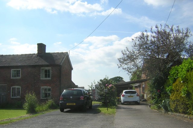
Image: © Christopher Hilton Taken: 3 Jun 2016
The horsebox seen behind the gate on the left is an indication of the agricultural buildings that lie beyond that gate. On the right-hand driveway, a car-port marks a more modern house. A continuous ribbon of housing northwards links these bungalows to Shavington, but officially - presumably as a result of the parish boundary - these houses south of the former main A52 lie in Wybunbury.
Images are licensed for reuse under creativecommons.org/licenses/by-sa/2.0
Image Location
Latitude
53.057297
Longitude
-2.447863