Former Royal Sea Bathing Hospital, Margate
Introduction
The photograph on this page of Former Royal Sea Bathing Hospital, Margate by Paul Harrop as part of the Geograph project.
The Geograph project started in 2005 with the aim of publishing, organising and preserving representative images for every square kilometre of Great Britain, Ireland and the Isle of Man.

There are currently over 7.5m images from over 14,400 individuals and you can help contribute to the project by visiting https://www.geograph.org.uk
Former Royal Sea Bathing Hospital, Margate
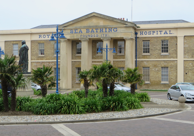
Image: © Paul Harrop Taken: 2 Jun 2016
Now converted and extended into apartments, seen from Canterbury Road.
Images are licensed for reuse under creativecommons.org/licenses/by-sa/2.0
Image Location
Latitude
51.385217
Longitude
1.366813