58-62, High Street, Steyning
Introduction
The photograph on this page of 58-62, High Street, Steyning by Simon Carey as part of the Geograph project.
The Geograph project started in 2005 with the aim of publishing, organising and preserving representative images for every square kilometre of Great Britain, Ireland and the Isle of Man.

There are currently over 7.5m images from over 14,400 individuals and you can help contribute to the project by visiting https://www.geograph.org.uk
58-62, High Street, Steyning
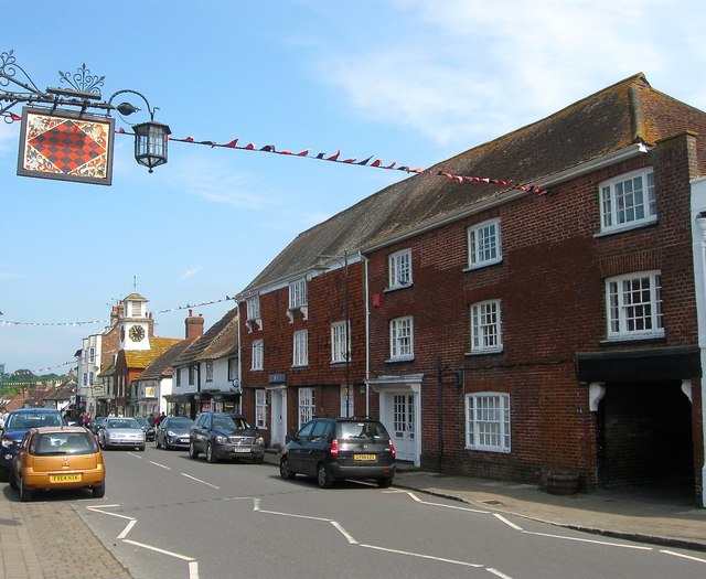
Image: © Simon Carey Taken: 29 May 2016
Originally a timber framed building from the 16th century that was built with three storeys. The building was refronted in the 18th century. Number 58 on the right is now a private residence accessed via the carriageway on the extreme right though a former door can be made out in the brickwork to its left. Numbers 60 and 62 are still in commercial use mainly as offices though the ground floor of the latter is used as a shop. The sign on the left belongs to Image whilst in the distance is Image
Images are licensed for reuse under creativecommons.org/licenses/by-sa/2.0
Image Location
Latitude
50.888596
Longitude
-0.329432