OS benchmark - Cellardyke, former Independent Chapel on Crail Road
Introduction
The photograph on this page of OS benchmark - Cellardyke, former Independent Chapel on Crail Road by Richard Law as part of the Geograph project.
The Geograph project started in 2005 with the aim of publishing, organising and preserving representative images for every square kilometre of Great Britain, Ireland and the Isle of Man.

There are currently over 7.5m images from over 14,400 individuals and you can help contribute to the project by visiting https://www.geograph.org.uk
OS benchmark - Cellardyke, former Independent Chapel on Crail Road
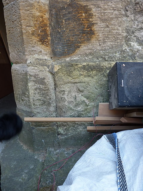
Image: © Richard Law Taken: 10 May 2016
A very weathered OS cutmark on the doorway of the old church/chapel near the roundabout in Cellardyke; originally levelled at 12.844m above Ordnance Datum Newlyn.
Images are licensed for reuse under creativecommons.org/licenses/by-sa/2.0
Image Location
Latitude
56.223651
Longitude
-2.702237