Blacksmiths Arms and view towards Hutton Rudby
Introduction
The photograph on this page of Blacksmiths Arms and view towards Hutton Rudby by Colin Grice as part of the Geograph project.
The Geograph project started in 2005 with the aim of publishing, organising and preserving representative images for every square kilometre of Great Britain, Ireland and the Isle of Man.

There are currently over 7.5m images from over 14,400 individuals and you can help contribute to the project by visiting https://www.geograph.org.uk
Blacksmiths Arms and view towards Hutton Rudby
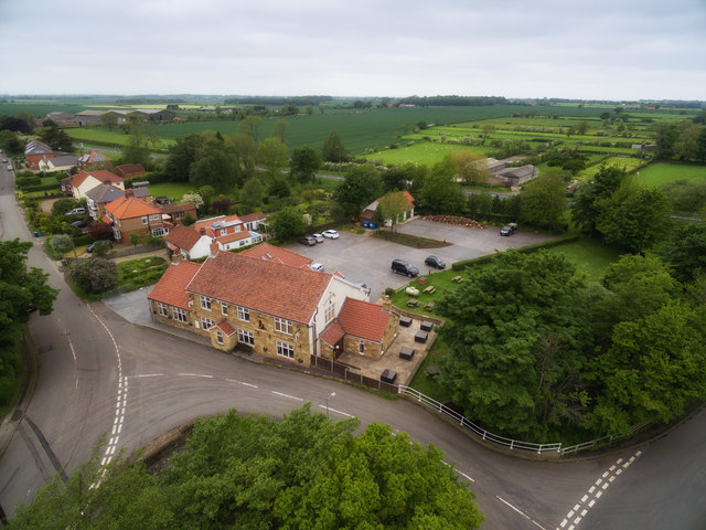
Image: © Colin Grice Taken: 2 Jun 2016
The busy A172 at the end of their car park is a major route from the A19 to the more eastern side of Cleveland - and runs alongside the distinctive outline of The Cleveland Hills towards Roseberry Topping. Presumably the original road ran directly in front of the building pretty much.
Images are licensed for reuse under creativecommons.org/licenses/by-sa/2.0
Image Location
Latitude
54.414021
Longitude
-1.268365