Highglen Drive and the bus shelter at its northern end
Introduction
The photograph on this page of Highglen Drive and the bus shelter at its northern end by David Smith as part of the Geograph project.
The Geograph project started in 2005 with the aim of publishing, organising and preserving representative images for every square kilometre of Great Britain, Ireland and the Isle of Man.

There are currently over 7.5m images from over 14,400 individuals and you can help contribute to the project by visiting https://www.geograph.org.uk
Highglen Drive and the bus shelter at its northern end
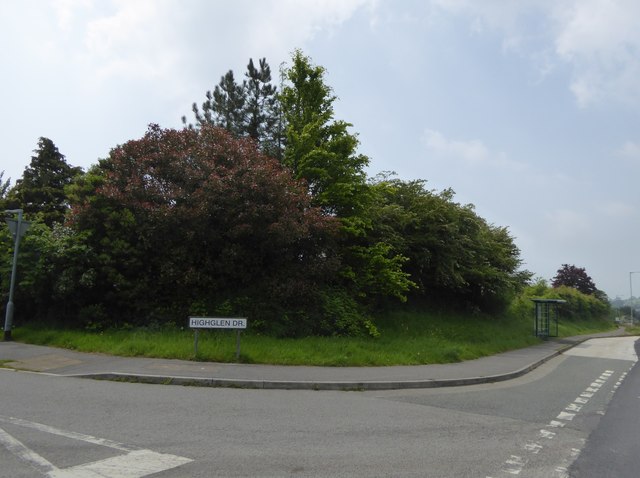
Image: © David Smith Taken: 28 May 2016
Not sure why a residential road in Devon should take the name of "Glen"
Images are licensed for reuse under creativecommons.org/licenses/by-sa/2.0
Image Location
Latitude
50.397163
Longitude
-4.033173