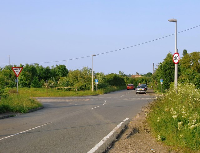
Ratcliffe Highway: No Through Road
Introduction
The photograph on this page of Ratcliffe Highway: No Through Road by Stefan Czapski as part of the Geograph project.
The Geograph project started in 2005 with the aim of publishing, organising and preserving representative images for every square kilometre of Great Britain, Ireland and the Isle of Man.
There are currently over 7.5m images from over 14,400 individuals and you can help contribute to the project by visiting https://www.geograph.org.uk

Image: © Stefan Czapski Taken: 28 May 2016
Ratcliffe Highway was the old road from Strood and the Medway towns to Allhallows on the Thames shore (upstream from the Isle of Grain). The roadway seen in the picture carried the A228 until that route was upgraded in the late 20th century. Going east from this point, the alignment of the old road can still be traced (e.g. at the site of the old Sharnal Street station) but no more than fragments of the old road are passable in a motor vehicle.

