Lane to Poulza
Introduction
The photograph on this page of Lane to Poulza by Derek Harper as part of the Geograph project.
The Geograph project started in 2005 with the aim of publishing, organising and preserving representative images for every square kilometre of Great Britain, Ireland and the Isle of Man.

There are currently over 7.5m images from over 14,400 individuals and you can help contribute to the project by visiting https://www.geograph.org.uk
Lane to Poulza
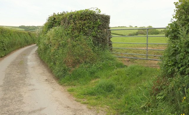
Image: © Derek Harper Taken: 31 May 2016
Passing a gateway with a glimpse of a view towards the Jacob Stream valley, which must be crossed to reach the farms at Poulza, although the public road gives up there.
Images are licensed for reuse under creativecommons.org/licenses/by-sa/2.0
Image Location
Latitude
50.73305
Longitude
-4.551779