View to Humber Hill
Introduction
The photograph on this page of View to Humber Hill by Robert Graham as part of the Geograph project.
The Geograph project started in 2005 with the aim of publishing, organising and preserving representative images for every square kilometre of Great Britain, Ireland and the Isle of Man.

There are currently over 7.5m images from over 14,400 individuals and you can help contribute to the project by visiting https://www.geograph.org.uk
View to Humber Hill
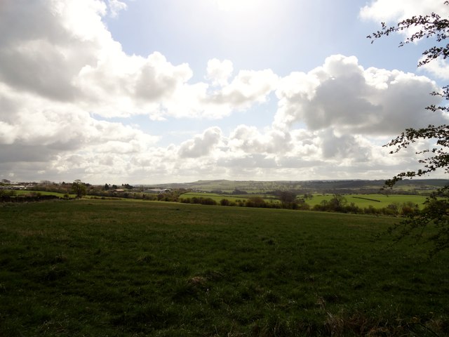
Image: © Robert Graham Taken: 13 Apr 2012
Looking south from the southern edge of Templetown, which marks the point where the urban landscape of Consett opens out into the countryside. Humber Hill, on the horizon is a prominent landmark to the west of Lanchester.
Images are licensed for reuse under creativecommons.org/licenses/by-sa/2.0
Image Location
Latitude
54.839028
Longitude
-1.827921