Meadow Lane level crossing
Introduction
The photograph on this page of Meadow Lane level crossing by David Lally as part of the Geograph project.
The Geograph project started in 2005 with the aim of publishing, organising and preserving representative images for every square kilometre of Great Britain, Ireland and the Isle of Man.

There are currently over 7.5m images from over 14,400 individuals and you can help contribute to the project by visiting https://www.geograph.org.uk
Meadow Lane level crossing
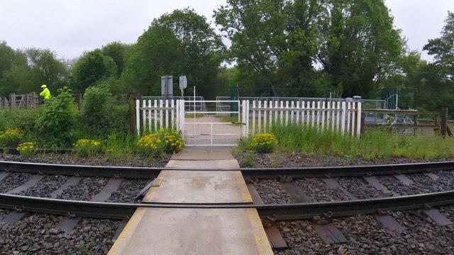
Image: © David Lally Taken: 1 Jun 2016
Between Meadow Lane, Chilwell and Attenborough nature reserve. A well-used crossing.
Images are licensed for reuse under creativecommons.org/licenses/by-sa/2.0
Image Location
Latitude
52.913371
Longitude
-1.219689