Ministry of Supply Factory, Valley, Rhydymwyn: Danger Area
Introduction
The photograph on this page of Ministry of Supply Factory, Valley, Rhydymwyn: Danger Area by Mike Searle as part of the Geograph project.
The Geograph project started in 2005 with the aim of publishing, organising and preserving representative images for every square kilometre of Great Britain, Ireland and the Isle of Man.

There are currently over 7.5m images from over 14,400 individuals and you can help contribute to the project by visiting https://www.geograph.org.uk
Ministry of Supply Factory, Valley, Rhydymwyn: Danger Area
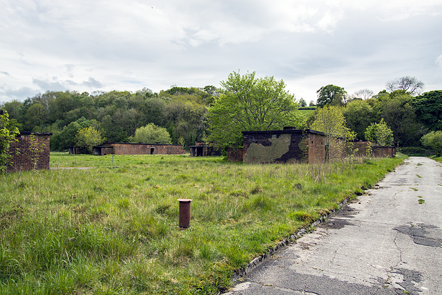
Image: © Mike Searle Taken: 20 May 2016
In terms of its historical significance, the chemical weapons programme was a highly controversial and yet vital component of British wartime strategy. It was, at the very least, a necessary deterrent to an enemy with a more advanced chemical weapons capability. Moreover, if the Battle of Britain had been lost and a German invasion looked capable of success, their pre-emptive use may even have been contemplated. Later, following D-Day, it was considered that there was a significant threat of the use of uranium warheads in Hitler's V or vengeance rockets, for which the only Allied response was perceived to be the use of chemical weapons. For these reasons it was necessary to build and maintain the Valley site. [© Birmingham University's Archaeology Dept. Report and Survey of the site 2006]. ********** START: Image
Images are licensed for reuse under creativecommons.org/licenses/by-sa/2.0
Image Location
Latitude
53.183393
Longitude
-3.185122