Tonge Mill
Introduction
The photograph on this page of Tonge Mill by Marathon as part of the Geograph project.
The Geograph project started in 2005 with the aim of publishing, organising and preserving representative images for every square kilometre of Great Britain, Ireland and the Isle of Man.

There are currently over 7.5m images from over 14,400 individuals and you can help contribute to the project by visiting https://www.geograph.org.uk
Tonge Mill
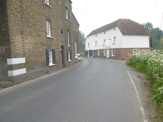
Image: © Marathon Taken: 29 May 2016
There has been a watermill at Tonge for 900 years. The present building was erected in 1837. The gears and waterwheel were removed and the stream diverted. The building later became Wick's bakery. In 1970 the mill was converted to accommodate two families who run a craft centre and tea shop. Tonge Mill is Grade II Listed. A view from the footpath which passes to the south can be seen at http://www.geograph.org.uk/photo/4973493 See https://www.swale.gov.uk/assets/Planning-Forms-and-Leaflets/Planning-General/Planning-Conservation/Tonge-conservation-area-character-appraisal.pdf
Images are licensed for reuse under creativecommons.org/licenses/by-sa/2.0
Image Location
Latitude
51.338394
Longitude
0.775624