Alterations to the Crown & Sceptre, The Street
Introduction
The photograph on this page of Alterations to the Crown & Sceptre, The Street by John Baker as part of the Geograph project.
The Geograph project started in 2005 with the aim of publishing, organising and preserving representative images for every square kilometre of Great Britain, Ireland and the Isle of Man.

There are currently over 7.5m images from over 14,400 individuals and you can help contribute to the project by visiting https://www.geograph.org.uk
Alterations to the Crown & Sceptre, The Street
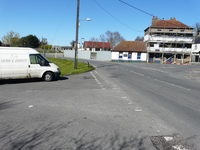
Image: © John Baker Taken: 17 Apr 2016
Planning permission has been granted by Thanet District Council under application number F/TH/14/0767 for the “change of use and conversion of existing public house to single dwelling-house and erection of a pair of semi-detached two storey dwellings fronting Acol Hill, with associated car parking”.
Images are licensed for reuse under creativecommons.org/licenses/by-sa/2.0
Image Location
Latitude
51.358671
Longitude
1.313573