Northern end of Pennyfields, Cwmbran
Introduction
The photograph on this page of Northern end of Pennyfields, Cwmbran by Jaggery as part of the Geograph project.
The Geograph project started in 2005 with the aim of publishing, organising and preserving representative images for every square kilometre of Great Britain, Ireland and the Isle of Man.

There are currently over 7.5m images from over 14,400 individuals and you can help contribute to the project by visiting https://www.geograph.org.uk
Northern end of Pennyfields, Cwmbran
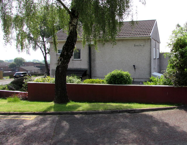
Image: © Jaggery Taken: 30 May 2016
Viewed across Archer Road near the corner of Ty Gwyn Road. The name on the house wall is PENNYFIELDS, which is an area of twenty houses.
Images are licensed for reuse under creativecommons.org/licenses/by-sa/2.0
Image Location
Latitude
51.651209
Longitude
-3.044703