Cow parsley alongside Highsted Road
Introduction
The photograph on this page of Cow parsley alongside Highsted Road by Marathon as part of the Geograph project.
The Geograph project started in 2005 with the aim of publishing, organising and preserving representative images for every square kilometre of Great Britain, Ireland and the Isle of Man.

There are currently over 7.5m images from over 14,400 individuals and you can help contribute to the project by visiting https://www.geograph.org.uk
Cow parsley alongside Highsted Road
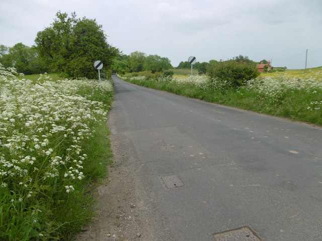
Image: © Marathon Taken: 29 May 2016
This is at the northern end of Highsted at the junction with Cromer Road and Stockers Hill on the way to Sittingbourne. The farm on the extreme right is called Golden Wood.
Images are licensed for reuse under creativecommons.org/licenses/by-sa/2.0
Image Location
Latitude
51.322271
Longitude
0.738478