Stray Road
Introduction
The photograph on this page of Stray Road by DS Pugh as part of the Geograph project.
The Geograph project started in 2005 with the aim of publishing, organising and preserving representative images for every square kilometre of Great Britain, Ireland and the Isle of Man.

There are currently over 7.5m images from over 14,400 individuals and you can help contribute to the project by visiting https://www.geograph.org.uk
Stray Road
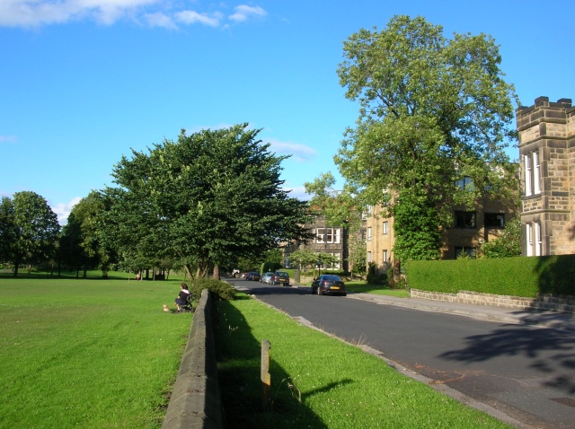
Image: © DS Pugh Taken: 7 Jul 2007
Looking down Stray Road. The nearest building is Middleton Lodge, beyond it are Clifton Flats, followed by Tewit Croft. On the left is Tewit Well Stray.
Images are licensed for reuse under creativecommons.org/licenses/by-sa/2.0
Image Location
Latitude
53.984933
Longitude
-1.535152