Bracebridge Sewage Pumping Station
Introduction
The photograph on this page of Bracebridge Sewage Pumping Station by Mat Fascione as part of the Geograph project.
The Geograph project started in 2005 with the aim of publishing, organising and preserving representative images for every square kilometre of Great Britain, Ireland and the Isle of Man.

There are currently over 7.5m images from over 14,400 individuals and you can help contribute to the project by visiting https://www.geograph.org.uk
Bracebridge Sewage Pumping Station
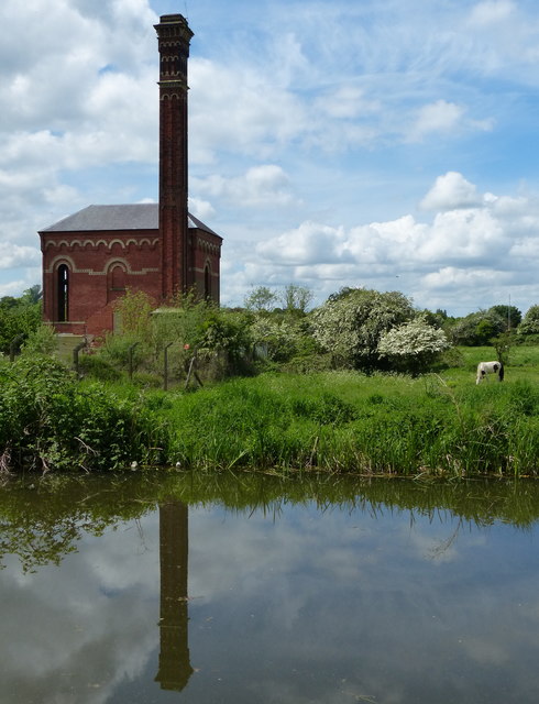
Image: © Mat Fascione Taken: 22 May 2016
A disused Grade II listed pumping station built in 1881. It is next to the Chesterfield Canal in Worksop.
Images are licensed for reuse under creativecommons.org/licenses/by-sa/2.0
Image Location
Latitude
53.304951
Longitude
-1.105573