Former sandpit bridge near Addlestone
Introduction
The photograph on this page of Former sandpit bridge near Addlestone by Alan Hunt as part of the Geograph project.
The Geograph project started in 2005 with the aim of publishing, organising and preserving representative images for every square kilometre of Great Britain, Ireland and the Isle of Man.

There are currently over 7.5m images from over 14,400 individuals and you can help contribute to the project by visiting https://www.geograph.org.uk
Former sandpit bridge near Addlestone
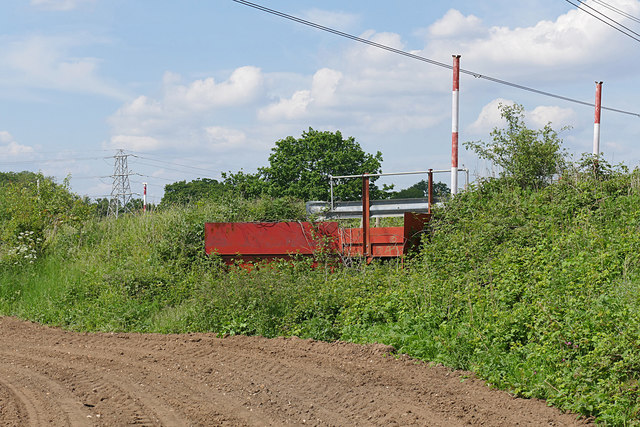
Image: © Alan Hunt Taken: 26 May 2016
One of the few remaining features of the large area of sand and gravel pits between Addlestone and Byfleet, much of the workings having been reclaimed for agricultural use. The OS maps do not represent the actuality on the ground.
Images are licensed for reuse under creativecommons.org/licenses/by-sa/2.0
Image Location
Latitude
51.361312
Longitude
-0.478481