Bramber Road, Steyning
Introduction
The photograph on this page of Bramber Road, Steyning by Simon Carey as part of the Geograph project.
The Geograph project started in 2005 with the aim of publishing, organising and preserving representative images for every square kilometre of Great Britain, Ireland and the Isle of Man.

There are currently over 7.5m images from over 14,400 individuals and you can help contribute to the project by visiting https://www.geograph.org.uk
Bramber Road, Steyning
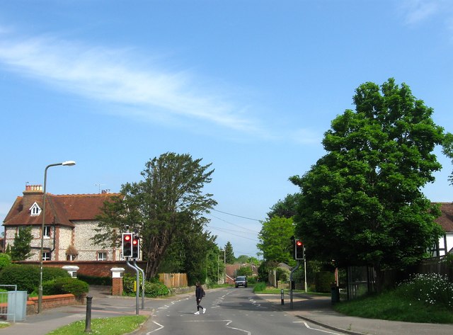
Image: © Simon Carey Taken: 29 May 2016
The current road became the main route to Bramber when it was created a turnpike in 1764 and a new section, Clays Hill, was built from the junction with Maudlin Lane. It later became the A283 until the construction of the Steyning By-Pass in 1981. Viewed from Image with Elinbank and Dunavon the houses on the left.
Images are licensed for reuse under creativecommons.org/licenses/by-sa/2.0
Image Location
Latitude
50.884331
Longitude
-0.326741