Community Orchard, Memorial Playing Field, Steyning
Introduction
The photograph on this page of Community Orchard, Memorial Playing Field, Steyning by Simon Carey as part of the Geograph project.
The Geograph project started in 2005 with the aim of publishing, organising and preserving representative images for every square kilometre of Great Britain, Ireland and the Isle of Man.

There are currently over 7.5m images from over 14,400 individuals and you can help contribute to the project by visiting https://www.geograph.org.uk
Community Orchard, Memorial Playing Field, Steyning
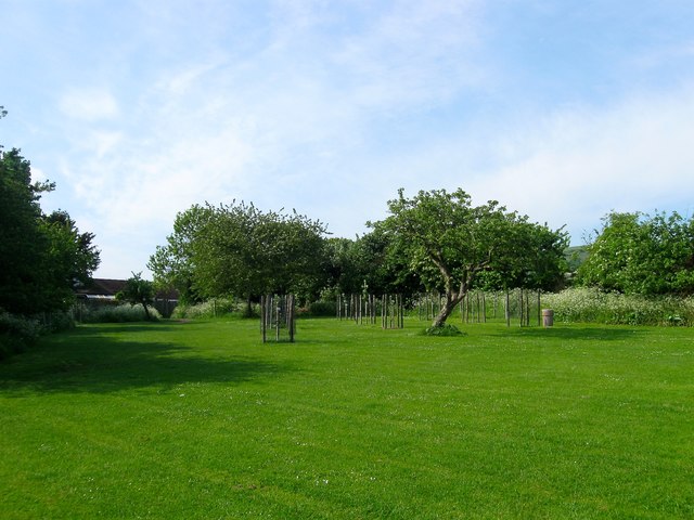
Image: © Simon Carey Taken: 29 May 2016
Tucked away in the south west corner of Image is a community orchard begun in 2014 using a mixture of existing trees and newly planted ones. An orchard was originally located here part of a nursery that occupied a field to the west of the cricket pitch. The nursery closed sometime in the 1970s and the land was acquired by the council as an extension to the recreation ground. Some of the trees remained but the area became overgrown until 2014 when locals decided to revive the orchard.
Images are licensed for reuse under creativecommons.org/licenses/by-sa/2.0
Image Location
Latitude
50.887401
Longitude
-0.333882