Grane Road
Introduction
The photograph on this page of Grane Road by Paul Anderson as part of the Geograph project.
The Geograph project started in 2005 with the aim of publishing, organising and preserving representative images for every square kilometre of Great Britain, Ireland and the Isle of Man.

There are currently over 7.5m images from over 14,400 individuals and you can help contribute to the project by visiting https://www.geograph.org.uk
Grane Road
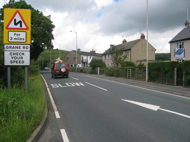
Image: © Paul Anderson Taken: 17 Jul 2007
This is a section of the B6232 Grane Road that runs between Haslingden and Blackburn. Until lorries were banned from using this road they used to slow the cars down. Since the ban was imposed, by the local council on HGVs, the speed of cars has risen on this dangerous road. Accident on 4th July 2007 http://lancashireeveningtelegraph.co.uk/mostpopular.var.1519147.mostviewed.twelve_injured_in_crash.php
Images are licensed for reuse under creativecommons.org/licenses/by-sa/2.0
Image Location


Leaflet Map data © OpenStreetMap
Latitude
53.702804
Longitude
-2.358656