Wergs Road at The Wergs near Wolverhampton
Introduction
The photograph on this page of Wergs Road at The Wergs near Wolverhampton by Roger D Kidd as part of the Geograph project.
The Geograph project started in 2005 with the aim of publishing, organising and preserving representative images for every square kilometre of Great Britain, Ireland and the Isle of Man.

There are currently over 7.5m images from over 14,400 individuals and you can help contribute to the project by visiting https://www.geograph.org.uk
Wergs Road at The Wergs near Wolverhampton
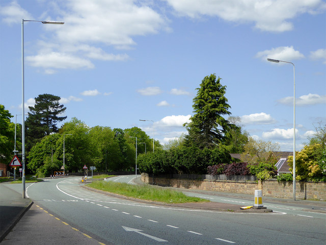
Image: © Roger D Kidd Taken: 24 May 2016
This is the A41 near the Crown Inn where it changes to Holyhead Road, looking towards Albrighton and Telford.
Images are licensed for reuse under creativecommons.org/licenses/by-sa/2.0
Image Location
Latitude
52.606175
Longitude
-2.192953